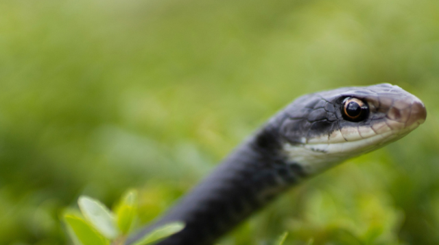
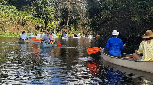
Classification of Land Cover
Methods
Background:
The land cover mapping technique developed by the Florida Fish
and Wildlife Cooperative Unit synergizes existing geospatial
information with current Landsat imagery. The primary data used
in this method are:
Landsat TM imagery from 1992/1993 (92/92) and/or from 1993/1994 (93/94);
Updated Florida water management district land use/land cover maps
Videography ground truth information;
Third party ground-truth information;
National Wetlands Inventory (NWI) maps;
Soil Conservation Service
Soils Maps.
For each Landsat scene location, the dates of the
imagery are reviewed to determine if two images are available that are approximately
one year apart and in different seasons. If this criteria is meet, the multi-date
approach is used. This approach capitalizes on the seasonal variation of vegetation
that can be detected using Landsat TM imagery. Each scene is classified independently
and subsequently, the classified images are merged to create a seamless mosaic.
Following is a description of the multi-date technique (see Figure
1. for a graphic overview). Since the single date
technique is identical, except for the band combinations used and some pre-processing
steps, it will not be presented, but a detailed figure is provided (see Figure
2.).
The method outlined below is divided into a pre-processing and
post-processing phase. In the pre-processing phase, the Landsat
imagery is made usable for classification by: checking for
database consistency with the land use/ land cover maps,
correcting for atmospheric affects as needed, and computing the
first three spectral rotations of the tasseled cap algorithm
(brightness, greenness and wetness). During the processing phase,
an iterative unsupervised classification algorithm is used in a
knowledge based cluster busting method.
Classification followed The Nature Conservancy, Southeastern Region classification scheme. For detailed descriptions of the TNC scheme ask for the report:
International Classification of Ecological Communities:
Terrestrial Vegetation of the Southeastern United States
The Nature Conservancy
101 Conner Hill Dr., Suite 202
Chapel Hill, NC 27514
(919) 967-5493
Methods:
Multi-date Land Cover Mapping
Technique:
When adequate information is available, multi-temporal image
classification procedures are used. Many different techniques and
band combinations can be used to classify Landsat imagery.
However, Hill and Megier (1988) found multi-temporal image
classification using the Tasseled-Cap algorithm resulted in
improved land cover mapping. Using similar procedures, each scene
was classified as follows.
Pre-processing:
In the pre-processing phase (Figure 1. Pre-Processing), the
data used in the classification methodology is first checked for
database constancy and co-registration. The images are normalized
and the tasseled cap transformation for each image is computed. A
discussion of each component is presented below.
Database consistency: One component of the classification
methodology uses land use/land cover maps. These maps were
obtained from Floridas water management districts and
revised with Landsat imagery from 1992 and 1993. However, imagery
from 1993 and 1994 were also used in the classification. These
images are overlayed with the land use maps and checked for
database consistency. If consistent positional errors are
present, an affine transformation and nearest-neighbor resampling
is used to co-register the image to the land use/land cover maps.
Additionally, poor co-registration between multi-date image bands
will confuse the classification and therefore, a poor
classification will result. Each image, potentially having been
geo-rectified by different people and using different ground
control, is co-registered as needed.
Normalization: Prior to any multi-date image analysis, it is
necessary to correct for differences in sensor offset and gain
and also scene illumination caused by different seasons and
atmospheric conditions. The difference in overall brightness
between the images was normalized using image regression. This
method is well suited for multi-temporal analysis where care must
be taken not to adjust the image for the seasonal variation of
vegetation. A regression model to account for these differences
is obtained by first identifying about 15 to 20 bright and dark
objects in each scene and, for each band, recording the digital
number (DN). An example of a dark object is uniform non turbid
man-made lakes. Good bright object are: airport runways, large
roads, beaches, dense urban areas, and exposed soils. Once these
values are compiled, a linear regression model is computed with
the darker of the two images assigned to the X variable. This
insures that positive corrections are made such that when applied
no negative numbers resulted in the output image however,
compression of values near 255 can occur. For each band a linear
regression model and an associated scatter plot are computed. If
the model has a correlation coefficient (r) higher than 95% and
the scatter plot does not have significant outliers, the linear
model is used. When outliers are detected, they are removed and
the regression model is recomputed.
Tasseled-Cap: The last step in the pre-processing phase is to
compute the tasseled cap algorithms. The tasseled-cap
transformation provides a mechanism for data reduction and
enhanced image interpretation by emphasizing the structures in
the spectral data which arise as a result of particular physical
characteristics of scene classes (Crist 1985). The equations for
this spectral index have been supplied by ERDAS, Inc. Atlanta,
Georgia. Brightness, greenness, and wetness are computed for each
image and combined into one multi-temporal data set.
Processing:
In the processing phase (Figure 1. Processing), for
each Landsat scene location two classified images are created, a
classified image of natural areas, and a classified image of some
urban and agricultural areas. This segmentation assistes with
reducing the overall spectral variability of the image and hence
results in an improved unsupervised classification. Using
Floridas modified land use/land cover classification system
(FLUCCS), codes that represent natural areas are used to isolate
natural areas in the imagery. Similarly, FLUCCS codes are used to
isolate urban and agricultural areas which may contain natural
areas (e.g. FLUCCS code for institution lands fall under the
urban codes however, these lands many times are natural).
Classification of Natural Areas:
For the natural areas, Imagines interative unsupervised
classification routine (ISODATA) is used to create 6 signatures.
These signatures are then used with the minimum distance to mean
classifier to classify natural areas to 6 classes. Next, for each
class of the classified natural areas image, 3 to 5 new classes
are created using ISODATA and the minimum distance to mean
classifier. At this point, up-to 30 classes could exist. These
classes are then summarized against ground truth information
obtained from videography. This summary is then used in a
knowledge based class combining or class "busting"
method.
Using this approach, classes with multiple labels are identified
and "busted" (classified into more classes).
Conversely, multiple classes with the same class name are
combined.
When possible, post-classification sorting is used to refine the
classification. In some instances certain classes can be
separated based on ancillary information such as NWI or soils
information. For example, this refinement allowes for the
separation of some class that could be differentiated and
reclassified based on fresh water or salt water NWI classes. At a
pixel level, this could easily be done however, treating
contiguous pixels as a group and reclassifying all pixels in that
group based on a majority NWI class value will eliminate
potential "salt and pepper" and it will create a more
natural split of the classes. Splitting the classes involved:
isolating and recoding the classes of interest, clumping the
classes, summarizing these clumps against the NWI coverage, and
splitting the classes through crosstabulation.
Classification of Urban Areas:
The classification of urban areas for the GAP Anaylsis project is
being performed by the Coastal
Service Center (C-CAP) Program.
However, an unsupervised classification of these areas was
performed. For urban/agricultural areas (see Figure 1. for the codes used), 15 to 30 classes were created
using ISODATA and the minimum-distance-to-mean classifier.
Classes that represented natural areas were isolated and labeled.
Finally, the classified images, with class names, were merge to
create a seamless mosaic. Classes from land use/land cover maps
were used to populate excluded lands in the mosaic. The
descriptive form of the FLUCCS codes were used as labels.
References
Crist, E. P. (1985). "A TM Tasseled Cap Equivalent
Transformation for Reflectance Factor Data." Paper, Elsevier
Science Publishing Co., Inc., New York, New York.
Hill, J. and J. Megier (1988). "The Use of Multi-Temporal TM
Tasseled Cap Features for Land Use Mapping in European Marginal
Areas An operational Approach." International Geoscience and
Remote Sensing Symposium (IGARSS), v2, pp.798-801.